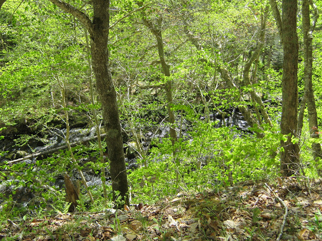
Lewis Mountain Road climbs 650 feet above the Whycocomagh Bay, so I wanted to check this one on the same day as Salt Mountain, but do the abbreviated version. The true hike is 15 kilometers return, but most guides offer the telling opinion that the most scenic section is in its first half. If I had more time, I would have done the whole thing (ATVs are permitted as well). What's left of the road can actually be followed all the way to Lake Ainslie, but black flies will probably prevent me from ever attempting that on foot alone. The initial section alone is good for mountain biking, but I entered some rough patches in my shortened hike and wouldn't attempt it myself.
 |
| MacPherson's Brook |
 | ||
| Beauty of a swimming hole |
Geocaches in area:
"Hole in the Rock"
N 45° 59.893 W 061° 00.994 Status: Good (6/3/13)
"Lewis Mountain" N 46° 01.093 W 061° 02.291 Status: Good (6/3/13)
"Lewis Mountain rd. no 1 (Have a drink)" N 46° 13.760 W 060° 37.068 Status: Good (6/3/13)
"Lewis Mountain rd. no. 2 (More power to you)" N 46° 13.592 W 060° 37.794 Status: Good (6/3/13)
"Lewis Mountain rd. no. 3 (rock of ages)" N 46° 13.462 W 060° 38.531 Status: Good (6/3/13)
"Lewis Mountain rd. no. 4 (matheson lake area)" N 46° 13.576 W 060° 39.738 Status: Good (6/3/13)


No comments:
Post a Comment