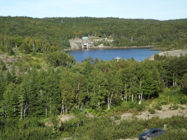
A few weeks ago, I mentioned to Russell that I hadn't yet been in to see the Wreck Cove Hydro Station. He had been there a couple of times, the most recent being about eight years ago, and so he wanted to check it out as well. To add a bit to the adventure, we decided to drive in from Margaree via the Highland road system (and not the Wreck Cove end), making it an entirely dirt-road trek
The Wreck Cove station is the only non-private hydroelectric plant in Cape Breton. To get there, we we drove from Fielding Road in Margaree Valley to the end of Highland Road, passing the road to go to Wreck Cove, and having to turn around a couple of times to locate it. Even with a map in hand from the Department of Natural Resources office in Margaree, it gets tricky out there. After selecting the right trail, it was a slower drive the rest of the way, as we moved from the wide Highland Road to something much narrower and maintained only by the Snowmobilers Association of Nova Scotia. Still, my little Civic made it through and the roads improved again once we got closer to Wreck Cove end.
 |
| Who can pass up a view from 1200 feet above the water? |
 |

Geocaches in area:
"Cabot Trail Tour series (No.3) Wreck cove" N 46° 31.867 W 060° 25.051 Status: Good (2013-08-29) GCNM6M
"Wreck cove Hydro project ( Surge Lake)" N 46° 32.245 W 060° 26.494 Status: Good (2013-08-29) GCW1HP
"Wreck cove hydro project (The windmill)"
N 46° 32.913 W 060° 29.721 Status: Good (2013-08-29) GCW1GQ


No comments:
Post a Comment